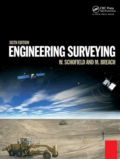
Engineering Surveying
- Vikt 1,34 kg
2 501 krhos Bokus · exkl. frakt
748 kr skillnad mellan billigaste och dyraste butik i lager
Dubbelkollat idag
Jämför 2 butiker
- Bokus, 2 501 kr, frakt enligt butiken. Till butik (öppnas i ny flik)
I lagerFrakt: se butikenDubbelkollad 08:51
2 501 kr
Lägst
- Akademibokhandeln, 3 249 kr, frakt enligt butiken. Till butik (öppnas i ny flik)
I lagerFrakt: se butikenDubbelkollad 08:53
3 249 kr

Priser från butikernas flöden kan ha ändrats: det är priset hos butiken som gäller, så kontrollera det innan du handlar.
Prishistorik
Köp nu eller vänta?
Just nu kostar produkten 2 501 kr — 230 kr över det lägsta vi sett på 1 månad.
Under den tiden har det oftast legat runt 2 300–2 350 kr.
Pris idag
2 501 kr
- Lägst
- 2 271 kr
- Snitt
- 2 354 kr
- Högst
- 2 526 kr
| 2026-09-15 | 2 271 kr · Lägst hos Bokus |
|---|---|
| 2026-09-22 | 2 297 kr · Lägst hos Bokus |
| 2026-10-10 | 2 524 kr · Lägst hos Bokus |
| 2026-10-11 | 2 353 kr · Lägst hos Bokus |
| 2026-10-17 | 2 513 kr · Lägst hos Bokus |
| 2026-10-18 | 2 510 kr · Lägst hos Bokus |
| 2026-10-20 | 2 353 kr · Lägst hos Bokus |
| 2026-10-27 | 2 521 kr · Lägst hos Bokus |
| 2026-10-28 | 2 526 kr · Lägst hos Bokus |
| 2026-10-29 | 2 525 kr · Lägst hos Bokus |
| 2026-11-01 | 2 501 kr · Lägst hos Bokus |
Om produkten
Engineering Surveying
Läs merLäs mindre
Engineering surveying involves determining the position of natural and man-made features on or beneath the Earth's surface and utilizing these features in the planning, design and construction of works. It is a critical part of any engineering project. Without an accurate understanding of the size, shape and nature of the site the project risks expensive and time-consuming errors or even catastrophic failure.This fully updated sixth edition of Engineering Surveying covers all the basic principles and practice of the fundamentals such as vertical control, distance, angles and position right through to the most modern technologies.It includes:* An introduction to geodesy to facilitate greater understanding of satellite systems* A fully updated chapter on GPS, GLONASS and GALILEO for satellite positioning in surveying* All new chapter on the important subject of rigorous estimation of control coordinates* Detailed material on mass data methods of photogrammetry and laser scanning and the role of inertial technology in themWith many worked examples and illustrations of tools and techniques, it suits students and professionals alike involved in surveying, civil, structural and mining engineering, and related areas such as geography and mapping.
Specifikationer
Fakta
- Vikt
- 1,34 kg
- GTIN
- 09781138373167
Uppgifter från tillverkare och butiker.