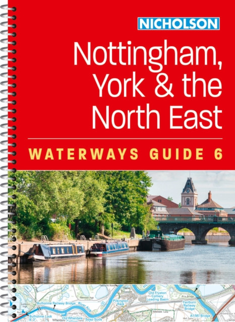
Nottingham, York and the North East (6)
Bra pris nuLägsta priset på 1 månad
179 kr199 kr−10% senaste veckanhos Buyersclub · exkl. frakt
Jämfört med det lägsta pris vi sett de 30 dagarna före sänkningen.
30 kr skillnad mellan billigaste och dyraste butik i lager
Dubbelkollade priser
Jämför 3 butiker
- Buyersclub, 179 kr, frakt enligt butiken. Till butik (öppnas i ny flik)
I lagerKampanjFrakt: se butikenDubbelkollad 05:33
179 kr
Lägst
- Storytel Books, 209 kr, frakt enligt butiken. Till butik (öppnas i ny flik)
I lagerFrakt: se butikenDubbelkollad 21:00
209 kr
- Adlibris, 218 kr plus 35 kr frakt. Till butik (öppnas i ny flik)
Slut i lagerFrakt 35 krDubbelkollad 27 okt. 09:10
218 kr



Priser från butikernas flöden kan ha ändrats: det är priset hos butiken som gäller, så kontrollera det innan du handlar.
Prishistorik
Köp nu eller vänta?
Just nu kostar produkten 179 kr — det lägsta vi sett på 1 månad.
Under den tiden har det oftast legat runt 200–220 kr.
Pris idag
179 kr
- Lägst
- 179 kr
- Snitt
- 202 kr
- Högst
- 218 kr
| 2026-09-15 | 215 kr · Lägst hos Adlibris |
|---|---|
| 2026-09-17 | 218 kr · Lägst hos Adlibris |
| 2026-09-24 | Ingen butik hade produkten i lager |
| 2026-10-06 | 199 kr · Lägst hos Buyersclub |
| 2026-10-28 | 179 kr · Lägst hos Buyersclub |
Om produkten
Nottingham, York and the North East (6)
Läs merLäs mindre
Explore Britain's canals and rivers with the Nicholson bestselling guides. For all users of the inland waterways. This established, popular and practical guide covers the canals and waterways between York and the River Trent south of Nottingham. Waterways covered in this guide are the Aire & Calder Navigation; Chesterfield Canal; River Derwent and the Pocklington Canal; Fossdyke & Witham Navigations; Grantham Canal; River Ouse, River Ure and Ripon Canal; Selby Canal; South Yorkshire Navigations; and River Trent. The detailed up-to-date maps clearly show the location of essential features such as locks, towpaths and boating facilities, as well as pubs, shops and restaurants in the area. There are comprehensive navigational notes and descriptive text on the history of each canal, and on local services and places of interest, for which postcodes are included – ideal for use with sat-navs. Scale: 2 inches = 1 mile, 3 cm = 1 km.