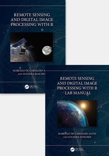
Remote Sensing and Digital Image Processing with R - Textbook and Lab Manual
Dubbelkollat idag
Jämför 1 butik
- Bokus, 1 348 kr, frakt enligt butiken. Till butik (öppnas i ny flik)
I lagerFrakt: se butikenDubbelkollad 20:51
1 348 kr
Lägst

Priser från butikernas flöden kan ha ändrats: det är priset hos butiken som gäller, så kontrollera det innan du handlar.
Prishistorik
Köp nu eller vänta?
Just nu kostar produkten 1 348 kr — 15 kr över det lägsta vi sett på 2 veckor.
Under den tiden har det oftast legat runt 1 340–1 350 kr.
Pris idag
1 348 kr
- Lägst
- 1 333 kr
- Snitt
- 1 343 kr
- Högst
- 1 354 kr
| 2026-10-01 | 1 333 kr · Lägst hos Bokus |
|---|---|
| 2026-10-04 | 1 339 kr · Lägst hos Bokus |
| 2026-10-05 | 1 340 kr · Lägst hos Bokus |
| 2026-10-08 | 1 354 kr · Lägst hos Bokus |
| 2026-10-10 | 1 352 kr · Lägst hos Bokus |
| 2026-10-11 | 1 347 kr · Lägst hos Bokus |
| 2026-10-12 | 1 343 kr · Lägst hos Bokus |
| 2026-10-16 | 1 348 kr · Lägst hos Bokus |
Om produkten
Remote Sensing and Digital Image Processing with R - Textbook and Lab Manual
Läs merLäs mindre
This new textbook and lab manual on remote sensing and digital image processing of natural resources includes numerous practical, problem-solving exercises, and case studies that use the free and open-source platform R. It explains the basic concepts of remote sensing and its multidisciplinary applications using R language and R packages, and engages students in learning theory through hands-on real-life projects.Features1. Aims to expand theoretical approaches of remote sensing and digital image processing through multidisciplinary applications using R and R packages.2. Engages students in learning theory through hands-on real-life projects.3. All chapters are structured with solved exercises and homework and encourages readers to understand the potential and the limitations of the environments.4. Covers data analysis in free and open-source (FOSS) R platform, which makes remote sensing accessible to anyone with a computer.5. Explores current trends and developments in remote sensing in homework assignments with data to further explore the use of free multispectral remote sensing data, including very high spatial resolution information.Students in upper-level undergraduate or graduate programs taking courses in Remote Sensing and Geoprocessing, civil and environmental engineering, geosciences, and environmental sciences, electrical engineering, biology, hydrology, agricultural engineering, as well as professionals in different areas who use remote sensing and image processing, will gain a deeper understanding and first-hand experience with remote sensing and digital processing, with a learn-by-doing methodology using applicable examples in natural resources..