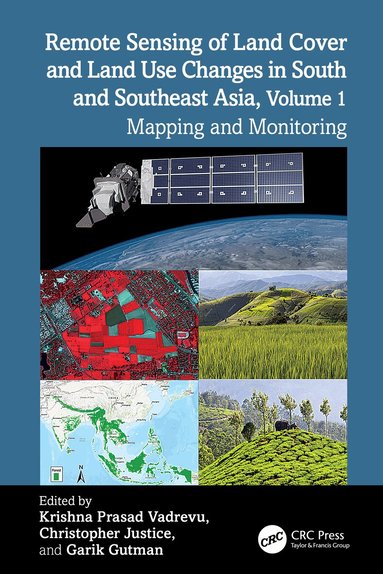
Remote Sensing of Land Cover and Land Use Changes in South and Southeast Asia, Volume 1
- Vikt 0,71 kg
880 krhos Bokus · exkl. frakt
269 kr skillnad mellan billigaste och dyraste butik i lager
Dubbelkollat idag
Jämför 2 butiker
- Bokus, 880 kr, frakt enligt butiken. Till butik (öppnas i ny flik)
I lagerFrakt: se butikenDubbelkollad 17:51
880 kr
Lägst
- Akademibokhandeln, 1 149 kr, frakt enligt butiken. Till butik (öppnas i ny flik)
I lagerFrakt: se butikenDubbelkollad 17:53
1 149 kr

Priser från butikernas flöden kan ha ändrats: det är priset hos butiken som gäller, så kontrollera det innan du handlar.
Prishistorik
Köp nu eller vänta?
Just nu kostar produkten 880 kr — 9 kr över det lägsta vi sett på 2 veckor.
Under den tiden har det oftast legat runt 880 kr.
Pris idag
880 kr
- Lägst
- 871 kr
- Snitt
- 891 kr
- Högst
- 1 129 kr
| 2026-09-30 | 1 129 kr · Lägst hos Akademibokhandeln |
|---|---|
| 2026-10-01 | 871 kr · Lägst hos Bokus |
| 2026-10-04 | 875 kr · Lägst hos Bokus |
| 2026-10-05 | 876 kr · Lägst hos Bokus |
| 2026-10-08 | 885 kr · Lägst hos Bokus |
| 2026-10-11 | 881 kr · Lägst hos Bokus |
| 2026-10-12 | 878 kr · Lägst hos Bokus |
| 2026-10-16 | 881 kr · Lägst hos Bokus |
| 2026-10-18 | 880 kr · Lägst hos Bokus |
Om produkten
Remote Sensing of Land Cover and Land Use Changes in South and Southeast Asia, Volume 1
Läs merLäs mindre
South and Southeast Asian countries are experiencing rapid land cover and land use changes (LCLUC) due to urbanization, agricultural expansion, deforestation, and infrastructure development. These changes have far-reaching consequences for biodiversity, water resources, food security, and climate regulation, underscoring the urgent need for effective monitoring and management strategies. Remote sensing data is essential for mapping and monitoring these changes. A variety of remote sensing data, ranging from coarse to very high resolution, can be used to assess land use patterns, and quantify changes.Volume 1 showcases the practical utility of remote sensing data in various LCLUC studies. The book features contributions from the NASA-funded South/Southeast Asia Research Initiative and collaborators from multiple countries in South and Southeast Asia.Key Features:Explores the latest methodologies, from deep learning to novel data integrations, for mapping LCLUC.Demonstrates case studies to monitor and map land cover changes using very-high, medium, and coarse-resolution satellite data.Highlights the role of remote sensing in integrating biophysical and socioeconomic data.Provides case studies on urban expansion, deforestation, and agricultural intensification.Demonstrates advanced remote sensing methods for tracking land use changes.Offers insights into sustainable land management using remote sensing and geospatial technologies.This book serves as a cornerstone for advancing research and collaboration in the field of remote sensing and land use studies, particularly in South and Southeast Asia. It will be an invaluable resource for mapping and monitoring professionals, including remote sensing experts, geographers, environmental scientists, ecologists, and all others involved in land use/cover change research.
Specifikationer
Fakta
- Vikt
- 0,71 kg
- GTIN
- 09781032499659
Uppgifter från tillverkare och butiker.