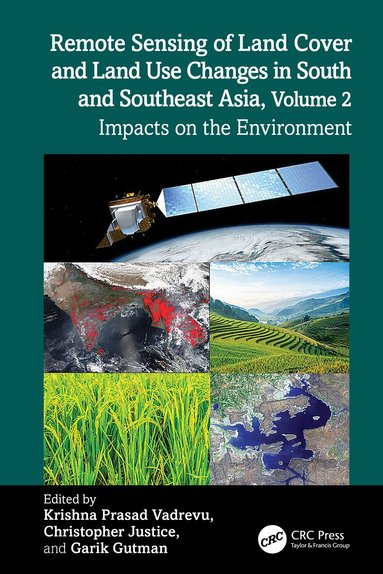
Remote Sensing of Land Cover and Land Use Changes in South and Southeast Asia, Volume 2
- Vikt 0,61 kg
880 krhos Bokus · exkl. frakt
269 kr skillnad mellan billigaste och dyraste butik i lager
Dubbelkollat idag
Jämför 2 butiker
- Bokus, 880 kr, frakt enligt butiken. Till butik (öppnas i ny flik)
I lagerFrakt: se butikenDubbelkollad 15:51
880 kr
Lägst
- Akademibokhandeln, 1 149 kr, frakt enligt butiken. Till butik (öppnas i ny flik)
I lagerFrakt: se butikenDubbelkollad 15:53
1 149 kr

Priser från butikernas flöden kan ha ändrats: det är priset hos butiken som gäller, så kontrollera det innan du handlar.
Prishistorik
Köp nu eller vänta?
Just nu kostar produkten 880 kr — 9 kr över det lägsta vi sett på 2 veckor.
Under den tiden har det oftast legat runt 880 kr.
Pris idag
880 kr
- Lägst
- 871 kr
- Snitt
- 891 kr
- Högst
- 1 129 kr
| 2026-09-30 | 1 129 kr · Lägst hos Akademibokhandeln |
|---|---|
| 2026-10-01 | 871 kr · Lägst hos Bokus |
| 2026-10-04 | 875 kr · Lägst hos Bokus |
| 2026-10-05 | 876 kr · Lägst hos Bokus |
| 2026-10-08 | 885 kr · Lägst hos Bokus |
| 2026-10-11 | 881 kr · Lägst hos Bokus |
| 2026-10-12 | 878 kr · Lägst hos Bokus |
| 2026-10-16 | 881 kr · Lägst hos Bokus |
| 2026-10-18 | 880 kr · Lägst hos Bokus |
Om produkten
Remote Sensing of Land Cover and Land Use Changes in South and Southeast Asia, Volume 2
Läs merLäs mindre
South and Southeast Asian countries are experiencing rapid land cover and land use changes (LCLUC) driven by urbanization, agricultural expansion, deforestation, and infrastructure development. These transformations have significant impacts on biodiversity, water resources, food security, and climate regulation. There is an urgent need to quantify LCLUC impacts to design effective management strategies that help understand, mitigate, and adapt to these changes. Remote sensing data plays a crucial role in providing diverse information essential for assessing land use patterns, quantifying changes, and evaluating both environmental and societal impacts.Volume 2 explores the complex and dynamic interactions between land use and the environment in the region. It brings together expertise from U.S. contributors of the NASA-funded Southeast Asia Research Initiative (SARI) and collaborators from South and Southeast Asian countries.Key Features:Presents case studies on LCLUC impacts related to food security, heat stress, urbanization, agricultural intensification, water scarcity, forest transitions, and ecosystem health.Demonstrates the use of novel machine learning and deep learning algorithms for quantifying LCLUC impacts.Explores how satellite remote sensing can reveal hidden patterns, track environmental degradation, and support resource management.Highlights the integration of very high-resolution data with mid-resolution satellite data for effective LCLUC impact mapping and monitoring.Adopts a multidisciplinary approach, emphasizing the integration of biophysical and socio-economic data to address LCLUC impacts.This book highlights the transformative power of remote sensing and geospatial technologies while calling researchers, policymakers, and practitioners to action. It offers valuable insights for scientists, geographers, ecologists, remote sensing specialists, and anyone interested in the intersection of land use, development, and environmental sustainability.
Specifikationer
Fakta
- Vikt
- 0,61 kg
- GTIN
- 09781032499673
Uppgifter från tillverkare och butiker.