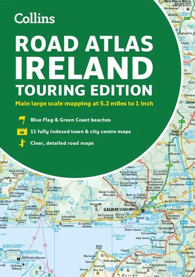
Road Atlas Ireland
- Vikt 0,36 kg
Dubbelkollat idag
Jämför 2 butiker
- Bokus, 146 kr, frakt enligt butiken. Till butik (öppnas i ny flik)
Slut i lagerFrakt: se butikenDubbelkollad 08:51
146 kr
- Akademibokhandeln, 189 kr, frakt enligt butiken. Till butik (öppnas i ny flik)
Slut i lagerFrakt: se butikenDubbelkollad 08:53
189 kr

Priser från butikernas flöden kan ha ändrats: det är priset hos butiken som gäller, så kontrollera det innan du handlar.
Prishistorik
Köp nu eller vänta?
- Lägst
- 143 kr
- Snitt
- 147 kr
- Högst
- 189 kr
| 2026-09-15 | 143 kr · Lägst hos Bokus |
|---|---|
| 2026-10-09 | 146 kr · Lägst hos Bokus |
| 2026-10-28 | 189 kr · Lägst hos Akademibokhandeln |
| 2026-10-31 | Ingen butik hade produkten i lager |
Om produkten
Road Atlas Ireland
Läs merLäs mindre
Explore Ireland with this accurate and fully updated road atlas.This road atlas is at A4 size, covering the whole of Ireland and features clear and detailed Collins colour mapping at a scale of 5.2 miles to 1 inch. Perfect for both residents and visitorstouring Ireland.This revised edition includes: Places of tourist interestContact information for Tourist Information Centres with grid references to the mappingFully indexed street maps of 11 cities and towns - Dublin, Belfast, Cork, Limerick, Waterford,Londonderry (Derry), Galway, Bangor, Dun Laoghaire, Drogheda and KillarneyBlue Flag & Green Coast beachesFerry and airport information; Distance chart; Distances marked on the roads in miles and kilometresRoute planning map of the whole of Ireland at 15.8 miles to 1 inchAdministrative map of Irish counties and districts.
Specifikationer
Fakta
- Vikt
- 0,36 kg
- GTIN
- 09780008597672
Uppgifter från tillverkare och butiker.