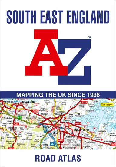
South East England A-Z Road Atlas
- Vikt 0,14 kg
Bra pris nuLägsta priset på 1 månad
99 krhos Buyersclub · exkl. frakt
30 kr skillnad mellan billigaste och dyraste butik i lager
Dubbelkollat idag
Jämför 4 butiker
- Buyersclub, 99 kr, frakt enligt butiken. Till butik (öppnas i ny flik)
I lagerFrakt: se butikenDubbelkollad 05:34
99 kr
Lägst
- Storytel Books, 99 kr, frakt enligt butiken. Till butik (öppnas i ny flik)
I lagerFrakt: se butikenDubbelkollad 09:08
99 kr
Lägst
- Akademibokhandeln, 129 kr, frakt enligt butiken. Till butik (öppnas i ny flik)
I lagerFrakt: se butikenDubbelkollad 11:53
129 kr
- Bokus, 101 kr, frakt enligt butiken. Till butik (öppnas i ny flik)
Slut i lagerFrakt: se butikenDubbelkollad 11:51
101 kr



Priser från butikernas flöden kan ha ändrats: det är priset hos butiken som gäller, så kontrollera det innan du handlar.
Prishistorik
Köp nu eller vänta?
Just nu kostar produkten 99 kr — det lägsta vi sett på 1 månad.
Under den tiden har det oftast legat runt 100–120 kr.
Pris idag
99 kr
- Lägst
- 99 kr
- Snitt
- 106 kr
- Högst
- 159 kr
| 2026-09-15 | 159 kr · Lägst hos Akademibokhandeln |
|---|---|
| 2026-09-16 | 121 kr · Lägst hos Bokus |
| 2026-09-21 | 122 kr · Lägst hos Bokus |
| 2026-09-22 | 99 kr · Lägst hos Buyersclub |
| 2026-09-26 | 99 kr · Lägst hos Bokus |
| 2026-09-28 | 99 kr · Lägst hos Buyersclub |
| 2026-10-02 | 99 kr · Lägst hos Storytel Books |
| 2026-10-04 | 99 kr · Lägst hos Buyersclub |
| 2026-10-09 | 122 kr · Lägst hos Bokus |
| 2026-10-12 | 101 kr · Lägst hos Bokus |
| 2026-10-14 | Ingen butik hade produkten i lager |
| 2026-10-17 | 99 kr · Lägst hos Storytel Books |
| 2026-10-21 | 99 kr · Lägst hos Buyersclub |
| 2026-10-25 | Ingen butik hade produkten i lager |
| 2026-10-31 | 99 kr · Lägst hos Storytel Books |
Om produkten
South East England A-Z Road Atlas
Läs merLäs mindre
This A-Z map of South East England is a full colour regional road atlas featuring 46 pages of continuous road mapping extending from Banbury and Felixstowe to the south coast, and from Oxford and Southampton to Margate and Clacton-on-Sea in the east.Road map detail is shown at a clear 2.5 miles to 1 inch scale (1.58 km to 1 cm) and includes the following features: Motorways open with full junction detail, motorways under construction and proposed, service areas, primary routes and destinations, A & B roads, selected minor roads, gradients 1:5 and steeper, tolls, mileages, county boundaries, spot heights and hill shadingSelected fuel stationsNational Park boundariesSelected places of interest, tourist information centres and golf coursesAlso included are 21 city, town, airport or port plans for Brighton & Hove, Canterbury, Dover, Eastbourne, Folkestone, Guildford, London, Medway Towns, Milton Keynes, Oxford, Portsmouth, Reading. Southampton, Winchester, Windsor, London Gatwick Airport, London Heathrow Airport, London Luton Airport, London Stansted Airport, Newhaven Port, and Portsmouth Port.The index section lists cities, towns, villages, hamlets and locations covered by the road mapping.
Specifikationer
Fakta
- Vikt
- 0,14 kg
- GTIN
- 09780008560584
Uppgifter från tillverkare och butiker.