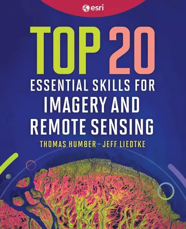
Top 20 Essential Skills for Imagery and Remote Sensing
- Vikt 0,8 kg
923 krhos Bokus · exkl. frakt
276 kr skillnad mellan billigaste och dyraste butik i lager
Dubbelkollat idag
Jämför 2 butiker
- Bokus, 923 kr, frakt enligt butiken. Till butik (öppnas i ny flik)
I lagerFrakt: se butikenDubbelkollad 07:51
923 kr
Lägst
- Akademibokhandeln, 1 199 kr, frakt enligt butiken. Till butik (öppnas i ny flik)
I lagerFrakt: se butikenDubbelkollad 07:53
1 199 kr

Priser från butikernas flöden kan ha ändrats: det är priset hos butiken som gäller, så kontrollera det innan du handlar.
Om produkten
Top 20 Essential Skills for Imagery and Remote Sensing
Läs merLäs mindre
Gain the essential imagery skills you need for data preparation, data exploration, and advanced imagery analysis workflows.Top 20 Essential Skills for Imagery and Remote Sensing guides readers step-by-step through the essential techniques needed to visualize, process, analyze, and manage imagery and raster products. In just a few clicks, you'll learn the skills necessary to interpret imagery, create imagery products, and perform various imagery analysis workflows.These concise chapters are designed for quick learning, with each chapter taking about 45 minutes to complete. Clear, easy-to-follow tutorials with practical examples consisting of instructions and screenshots make Top 20 Essential Skills for Imagery and Remote Sensing an approachable resource for users of all skill levels. By the end of this book, you'll be proficient in:Enhancing imagery, managing image collections, and performing advanced analysesUsing the ArcGIS Image Analyst extension for advanced image processingApplying real-world skills to support decision-making and solve complex problemsTop 20 Essential Skills for Imagery and Remote Sensing is ideal for GIS professionals who want to deepen their understanding of imagery, as well as students eager to learn about remote sensing.Empower yourself to use imagery and raster data effectively in your GIS projects with this comprehensive resource.
Specifikationer
Fakta
- Vikt
- 0,8 kg
- GTIN
- 09781589488212
Uppgifter från tillverkare och butiker.