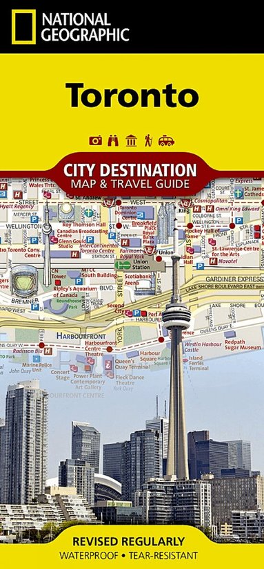
Toronto Map
Dubbelkollade priser
Jämför 2 butiker
- Bokus, 195 kr, frakt enligt butiken. Till butik (öppnas i ny flik)
I lagerFrakt: se butikenDubbelkollad 01:51
195 kr
Lägst
- Adlibris, 155 kr plus 35 kr frakt. Till butik (öppnas i ny flik)
Slut i lagerFrakt 35 krDubbelkollad 27 okt. 09:10
155 kr


Priser från butikernas flöden kan ha ändrats: det är priset hos butiken som gäller, så kontrollera det innan du handlar.
Prishistorik
Köp nu eller vänta?
Just nu kostar produkten 195 kr — 40 kr över det lägsta vi sett på 1 månad.
Under den tiden har det oftast legat runt 160–200 kr.
Pris idag
195 kr
- Lägst
- 155 kr
- Snitt
- 176 kr
- Högst
- 195 kr
| 2026-09-15 | 156 kr · Lägst hos Adlibris |
|---|---|
| 2026-09-25 | 157 kr · Lägst hos Adlibris |
| 2026-10-05 | 155 kr · Lägst hos Adlibris |
| 2026-10-08 | 191 kr · Lägst hos Bokus |
| 2026-10-12 | 195 kr · Lägst hos Bokus |
Om produkten
Toronto Map
Läs merLäs mindre
• Waterproof • Tear-Resistant • Travel MapNational Geographic's City Destination map of Toronto was designed for business and leisure travelers alike. Canada's capital city is covered with unparalleled detail in a unique package that combines a easy to read street map and travel guide. A regional map and an inset map of the city center, along with information about the city and its points of interest are featured on the front side of the map. A user friendly index of streets, hotels, public buildings, points of interest, metro stations, parks and beaches will help you find your destination quickly. While an overview of the transit system, a comprehensive metro map and map of Toronto Pearson International Airport will aid in your navigation around the city. A detailed street map of the city is shown on the reverse side, including the Toronto Islands. as well as an inset map of the Eastern Beaches. Points of interest, theaters, monuments, hotels, churches, parks, visitor information centers, notable buildings, underground walkways and pedestrian areas are clearly marked and easy to find with the multi-language legend. Many popular attractions are depicted in 3D, including the CN Tower, Ontario Parliament Buildings and Eaton Center. The location of train and metro stations, ferry routes and parking areas will further assist your exploration of the city. Every Destination Map is printed on durable synthetic paper, making them waterproof, tear-resistant and tough - capable of withstanding the rigors of any kind of travel.