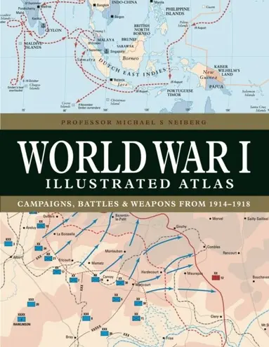
World War I Illustrated Atlas
- Vikt 0,95 kg
258 krhos Bokus · exkl. frakt
81 kr skillnad mellan billigaste och dyraste butik i lager
Dubbelkollade priser
Jämför 5 butiker
- Bokus, 258 kr, frakt enligt butiken. Till butik (öppnas i ny flik)
I lagerFrakt: se butikenDubbelkollad 10:51
258 kr
Lägst
- Akademibokhandeln, 339 kr, frakt enligt butiken. Till butik (öppnas i ny flik)
I lagerFrakt: se butikenDubbelkollad 09:53
339 kr
- Adlibris, 297 kr, frakt enligt butiken. Till butik (öppnas i ny flik)
Slut i lagerFrakt: se butikenDubbelkollad 27 okt. 09:10
297 kr
- Buyersclub, 339 kr, frakt enligt butiken. Till butik (öppnas i ny flik)
Slut i lagerFrakt: se butikenDubbelkollad 05:34
339 kr
- Book Outlet.se, 374 kr, frakt enligt butiken. Till butik (öppnas i ny flik)
Slut i lagerFrakt: se butikenDubbelkollad 10:45
374 kr




Priser från butikernas flöden kan ha ändrats: det är priset hos butiken som gäller, så kontrollera det innan du handlar.
Prishistorik
Köp nu eller vänta?
Just nu kostar produkten 258 kr — 8 kr över det lägsta vi sett på 1 månad.
Under den tiden har det oftast legat runt 260–300 kr.
Pris idag
258 kr
- Lägst
- 250 kr
- Snitt
- 282 kr
- Högst
- 338 kr
| 2026-09-15 | 294 kr · Lägst hos Bokus |
|---|---|
| 2026-09-16 | 250 kr · Lägst hos Bokus |
| 2026-09-18 | 294 kr · Lägst hos Bokus |
| 2026-09-22 | 250 kr · Lägst hos Bokus |
| 2026-09-25 | 294 kr · Lägst hos Bokus |
| 2026-09-29 | 250 kr · Lägst hos Bokus |
| 2026-10-01 | 294 kr · Lägst hos Bokus |
| 2026-10-06 | 297 kr · Lägst hos Adlibris |
| 2026-10-08 | 309 kr · Lägst hos Bokus |
| 2026-10-12 | 338 kr · Lägst hos Bokus |
| 2026-10-13 | 258 kr · Lägst hos Bokus |
| 2026-10-16 | 297 kr · Lägst hos Bokus |
| 2026-10-20 | 258 kr · Lägst hos Bokus |
| 2026-10-27 | 309 kr · Lägst hos Bokus |
| 2026-10-28 | 297 kr · Lägst hos Bokus |
| 2026-11-01 | 258 kr · Lägst hos Bokus |
Om produkten
World War I Illustrated Atlas
Läs merLäs mindre
World War I might conjure up images of the trenches of the Western Front where the fighting raged for nearly four and half years, but this was only part of what was truly a world war. It was a complex conflict fought in a number of theatres: an air war, a land war fought in the Balkans, Italy, Africa, Turkey and the Middle East, and also a naval war fought in the North Sea, South Atlantic, South Pacific and Indian Oceans. The 'Great War' introduced killing on an unprecedented scale and resulted in the loss of millions of lives. World War I Illustrated Atlas is a comprehensive visual guide to this complex conflict. In fine detail, it plots the exact course of the land, sea and air campaigns, enabling the reader to trace the ebb and flow of the fortunes of all sides. With more than 180 full-colour maps, every theatre of war is covered - from the Western Front to Penang, from Gallipoli to Galicia, from Dogger Bank to Dalmatia, from Romania to Rhodesia and from the Falklands to Togo and the Sinai desert. All the maps have been specially commissioned from an expert cartographer. Each map is designed to highlight a particular aspect of the war - thus maps vary in shape and size, with some giving a global perspective while others depict the exact movement of armed forces on land, sea or in the air. Battles such as Jutland, the Somme, Cambrai and the Gallipoli campaign are shown in great detail. All maps are accompanied by an explanatory key. With expert, accessible text and accompanying archival photographs, this complete atlas provides an invaluable work of reference for both the general reader and the serious student of World War I.
Specifikationer
Fakta
- Vikt
- 0,95 kg
- GTIN
- 09781838863548
Uppgifter från tillverkare och butiker.